Why consider Da Vinci Engineering
- ✓Coverage includes all 32 London boroughs, the City of London and regular work across the South East.
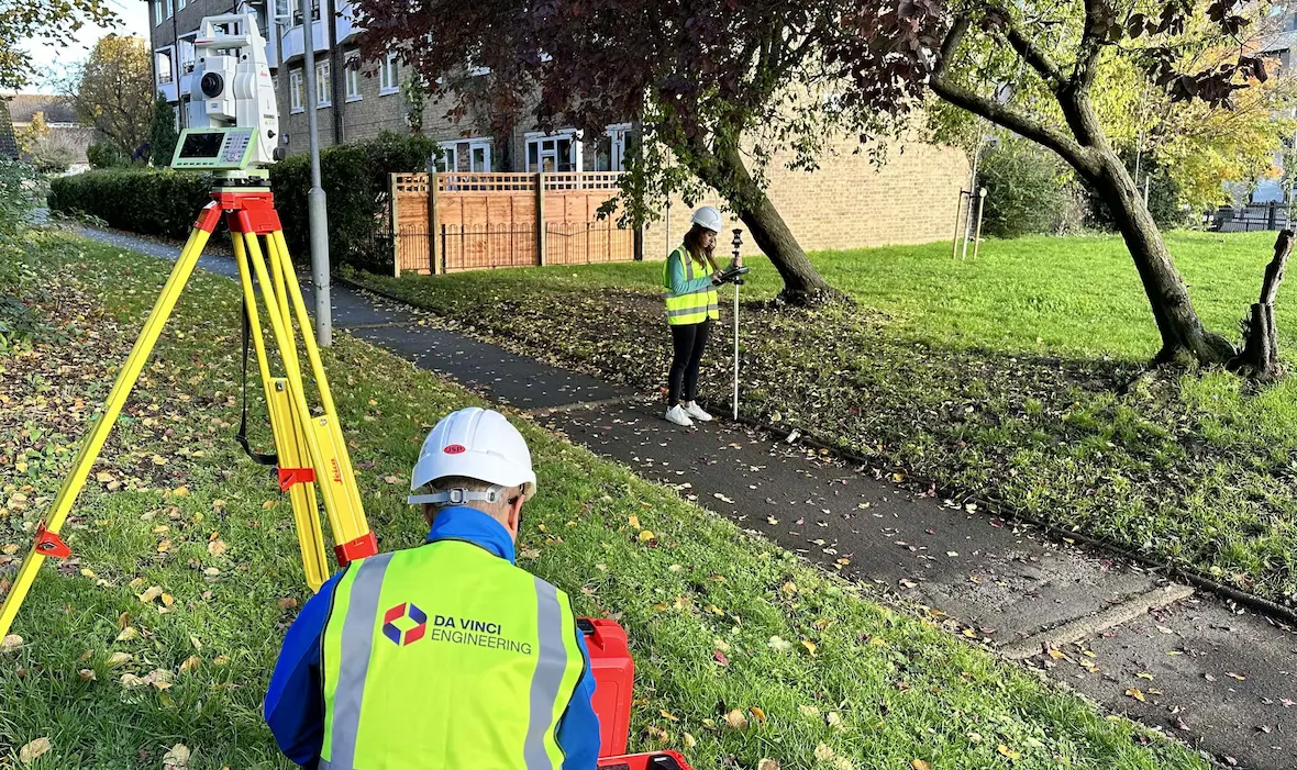
- ✓The official workflow uses Leica GNSS, robotic total stations and 3D laser scanners.
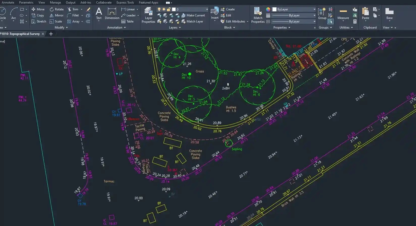
- ✓Topographical deliverables include layered DWG files, scaled PDFs, 3D models and terrain data.
- ✓The company states SSIP accreditation, professional insurance and direct access to the responsible surveyor or engineer.
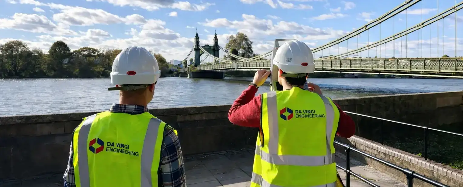
- ✓Official field photographs show its own branded team and equipment working on London survey sites.
About Da Vinci Engineering
Da Vinci Engineering is a London-based land-surveying and site-engineering practice serving all 32 London boroughs, the City of London and the South East, with wider UK mobilisation available by arrangement. The company positions its work around planning, design, construction verification and handover rather than a single survey type.
Its topographical surveys capture levels, spot heights, contours, boundaries, roads, hardstanding, vegetation, drainage features, utilities, buildings and other site constraints for architects, engineers, planners, developers and contractors. The practice states that it uses Leica GNSS, robotic total stations and 3D laser scanners.
Its published topographical workflow covers scope definition, on-site control and feature capture, in-house processing and quality review, followed by delivery of layered DWG drawings, scaled PDFs, 3D topographical models and terrain data. Related services include measured building surveys, scan-to-CAD and scan-to-BIM, as-built verification, structural movement monitoring and construction setting out.
The official site describes SSIP accreditation, insurance cover and direct communication with the surveyor or site engineer responsible for the work. Da Vinci publishes a typical survey-grade accuracy of plus or minus 10 millimetres, but the appropriate tolerance depends on the site, method, control and intended use; it must be agreed in the quotation rather than assumed.
The company also states that fixed-price quotations identify the service and deliverables. Before appointment, ask for the exact survey boundary, control and datum, accuracy specification, features and neighbouring context included, output scale and layers, revision process, programme and professional-insurance evidence.
All capabilities and service standards summarised here come from the company's own current website.
Services
- Topographical and land surveys
- Measured building surveys
- 3D laser scanning and point clouds
- Scan to CAD and Scan to BIM
- Construction setting out
- As-built verification surveys
- Structural movement monitoring
- CAD, PDF and three-dimensional terrain deliverables