Why consider Scope Surveys
- ✓Established in 2007 with stated coverage across London, the South East and the wider United Kingdom.
- ✓The company reports more than 150 years of combined experience across its surveying team.
- ✓A published Oxford Street case study details a two-person, two-day laser-scanning and control survey.
- ✓Outputs listed on the official site include DWG, PDF, 3D models, point clouds and BIM-ready information.
- ✓The official site displays The Survey Association accreditation and other quality and contractor-assurance credentials.
About Scope Surveys
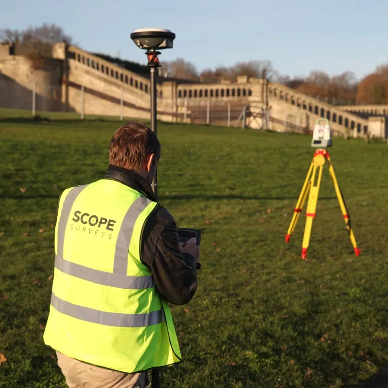
Scope Surveys is a London-based land, measured-building and geomatics practice established in 2007. The company says it works from Crystal Palace across London, the South East and the wider United Kingdom, supporting architects, developers, engineers, contractors, property professionals and homeowners. Its topographical surveys can record boundaries, levels, contours, buildings, roads, drainage, vegetation, utilities and other site features.
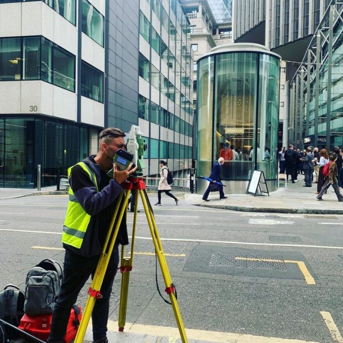
Depending on the brief, outputs may include layered 2D CAD drawings, PDFs, three-dimensional models and BIM-ready information. The wider service range combines measured building surveys, Scan to BIM, 3D laser scanning, UAV surveys, utility surveys, movement monitoring and site setting out. Scope says its team has more than 150 years of combined experience and uses robotic total stations, drones and laser scanners where appropriate.
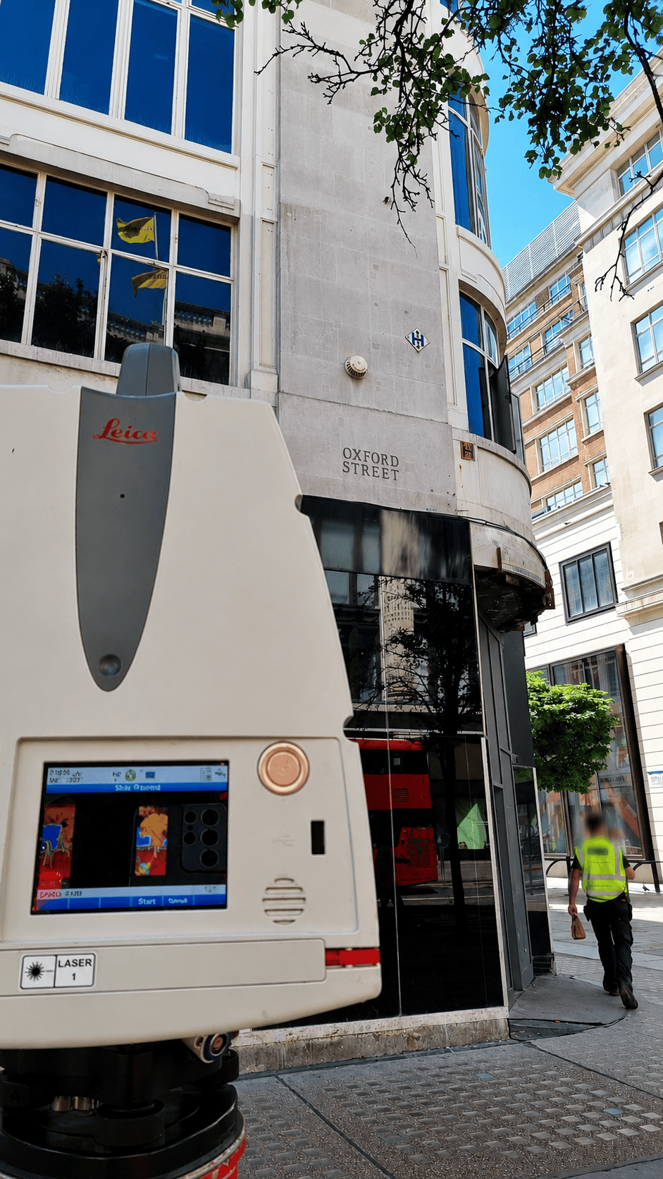
Its official site displays The Survey Association accreditation alongside quality and contractor-assurance credentials; clients should confirm that any particular accreditation and insurance cover apply to the proposed commission. The company publishes a recent Oxford Street example involving a three-storey retail property.
According to the case study, a two-person team spent two days capturing internal areas and the street facade using a Leica P40 scanner with total-station control referenced to Ordnance Survey. Deliverables included floor plans, facade elevations, sections, control information, DWG files and PDFs. Before appointment, ask for the survey extent, grid and datum, accuracy specification, excluded features, file formats, programme and revision allowance in writing.
All experience, equipment and project claims here derive from Scope Surveys' own published material.
Services
- Topographical and land surveys
- Measured building surveys
- 3D laser scanning and point-cloud capture
- Scan to BIM and Revit-ready modelling
- UAV and drone surveys
- Underground utility surveys
- Movement monitoring
- Construction setting out