Why consider TopoCrew Ltd
- ✓TopoCrew states that it has delivered surveying and site-engineering services in London since 2009.
- ✓The company reports more than 2,000 topographical surveys and work across over 750 miles of London streets.
- ✓Its Holborn case study records a 150,000-square-metre survey supported by more than five kilometres of traverse.
- ✓The published workflow includes survey control, cloud-backed field data, a site re-check and final CAD quality control.
- ✓Case studies document highway, public-realm, underground, heritage and measured-building survey work.
About TopoCrew Ltd
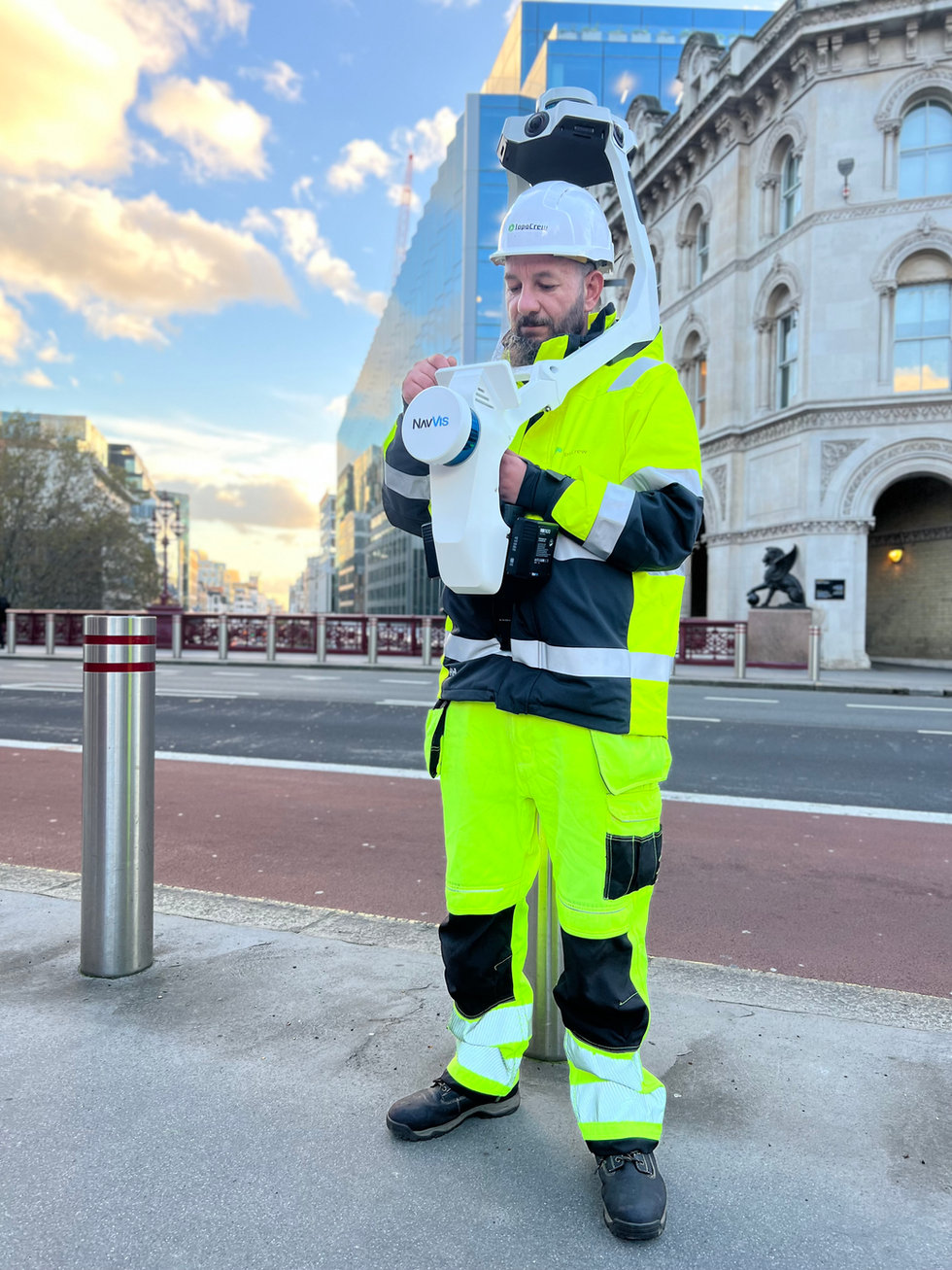
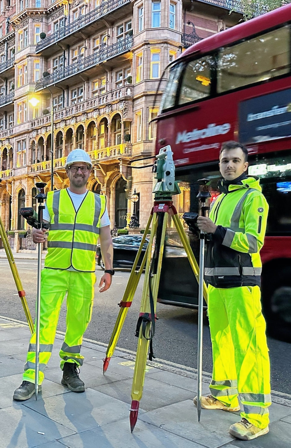
TopoCrew is a London surveying and site-engineering company that says it has operated since 2009. Its core offer covers topographical surveys, laser scanning, setting out and specialist site data for highway, public-realm, architectural and civil-engineering projects. The company reports more than 2,000 completed topographical surveys, work across 750-plus miles of London streets and regular activity in 29 boroughs.
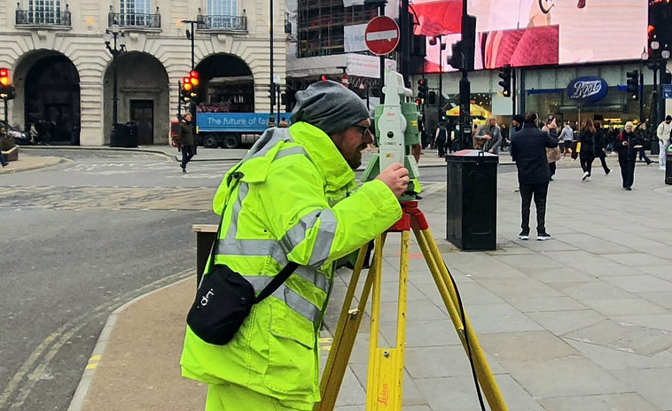
Its published client base includes local authorities, highway contractors, design consultancies and operators of complex venues and public spaces. For topographical work, TopoCrew describes a controlled workflow that starts with survey control, uses total stations or laser scanners for field capture, stores daily data securely and subjects drawings to a further site check and final CAD review.
Deliverables can include structured 2D and 3D CAD drawings, point clouds, digital terrain information, elevations and interactive three-dimensional views. Related services include GPR and utility-survey packages, UAV surveys, measured-building information, movement monitoring, setting out and as-built documentation. The case-study library provides useful evidence beyond a service list.
A 2023 Holborn project for the London Borough of Camden covered about 150,000 square metres and required more than five kilometres of traverse to establish control. Other published examples include an integrated above-and-below-ground survey at Aldwych and survey, setting-out and as-built support on highway schemes. These figures and outcomes are company claims.
Before commissioning, request the proposed control network, coordinate system, accuracy class, CAD layer standard, checking procedure, formats, exclusions and delivery timetable.
Services
- Topographical surveys
- 3D laser scanning and point clouds
- Construction setting out
- As-built surveys and documentation
- CAD, GIS and BIM modelling
- GPR and utility survey coordination
- UAV and drone surveys
- Movement monitoring and specialist surveys