Why consider BKF Engineers
- ✓Surveying practice with more than a century of stated experience
- ✓California project portfolio spans transportation, government, education and land development
- ✓Named land and construction surveying practice leads on the official site
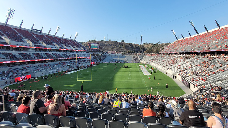
- ✓Experience includes Snapdragon Stadium, Mission Rock and statewide public-agency assignments
- ✓Capabilities include LiDAR, BIM and VDC models, drones, utility locating and conventional field survey
About BKF Engineers
BKF Engineers is a multidisciplinary planning, engineering, surveying and construction-management practice with a substantial California presence. Its official surveying service describes more than a century of land-survey experience and a team that works in dense urban environments, active construction sites and challenging terrain.
The published capability set covers topographic and boundary surveys, ALTA/NSPS land-title work, construction staking and monitoring, 3D laser scanning, BIM and VDC models, GPS, right-of-way mapping, GIS base mapping, unmanned aerial surveying, utility locating, subdivision and final maps, as-built surveys and control networks.
The company links its survey practice to named projects rather than presenting the discipline in isolation. Examples include surveying for San Diego State University’s Snapdragon Stadium, work at the Port of San Francisco and San Francisco Giants’ Mission Rock development, and statewide on-call surveying assignments for the California Department of Water Resources and PG&E.
Its broader California portfolio spans public infrastructure, universities, hospitals, data centres, mixed-use development and transportation. Dedicated surveying leadership, specialist digital methods and detailed project evidence give large property owners and development teams a strong basis for comparing BKF with other providers.
Services
- Topographic and boundary surveying
- ALTA/NSPS land title surveys
- Construction staking and monitoring
- 3D laser and high-definition scanning
- Unmanned aerial surveying
- Right-of-way and GIS base mapping
- Subdivision, parcel and final maps
- As-built, control and volumetric surveys