Why consider Psomas
- ✓Dedicated survey and geospatial service with named licensed practice leadership
- ✓Uses 3D laser scanning, mobile LiDAR and FAA-certified drone pilots
- ✓Official project evidence includes LAX, I-405 and Natomas Basin levees
- ✓More than 25 years of stated on-call surveying work for Caltrans districts
- ✓Capabilities cover utility detection, asset management and conventional construction staking
About Psomas
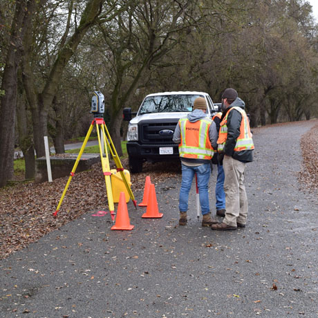
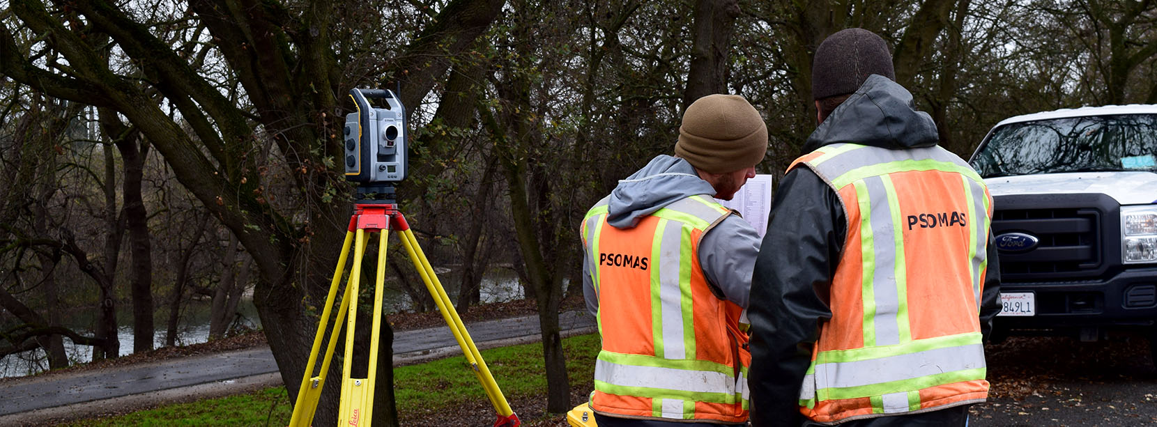
Psomas provides land surveying and geospatial services for infrastructure, transportation, development and public-sector projects in California and across the western United States. The official service page combines conventional survey disciplines with newer data-capture methods, including terrestrial and mobile LiDAR, 3D laser scanning, FAA-certified drone operations, aerial mapping and subsurface utility detection.
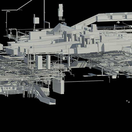
The published scope includes design surveys, right-of-way engineering, construction staking, GIS, asset location and management, aerial photogrammetry and survey data suitable for digital models. The practice documents several complex California assignments. Its project list includes LiDAR and BIM work at Delta’s LAX terminal, surveying for Interstate 405 improvements, levee work in the Natomas Basin, the State Route 4 and Balfour Road interchange and utility-detection services at the Orange County Fair and Event Center.
A separate Caltrans case study states that Psomas has supplied on-call surveying services across multiple California districts for more than twenty-five years. Named licensed survey leaders, advanced equipment, long-running public contracts and project-specific imagery provide strong evidence for clients evaluating a large geospatial provider.
Services
- Design and topographic surveys
- Right-of-way engineering
- Construction surveying and staking
- Terrestrial and mobile LiDAR scanning
- Subsurface utility engineering and detection
- GIS and asset-location mapping
- Aerial photogrammetry and drone surveys
- Control, boundary and as-built surveying