Site Plan: What It Must Include for Permit Review
Terramify editorial team · Updated September 1, 2026 · 5 min read
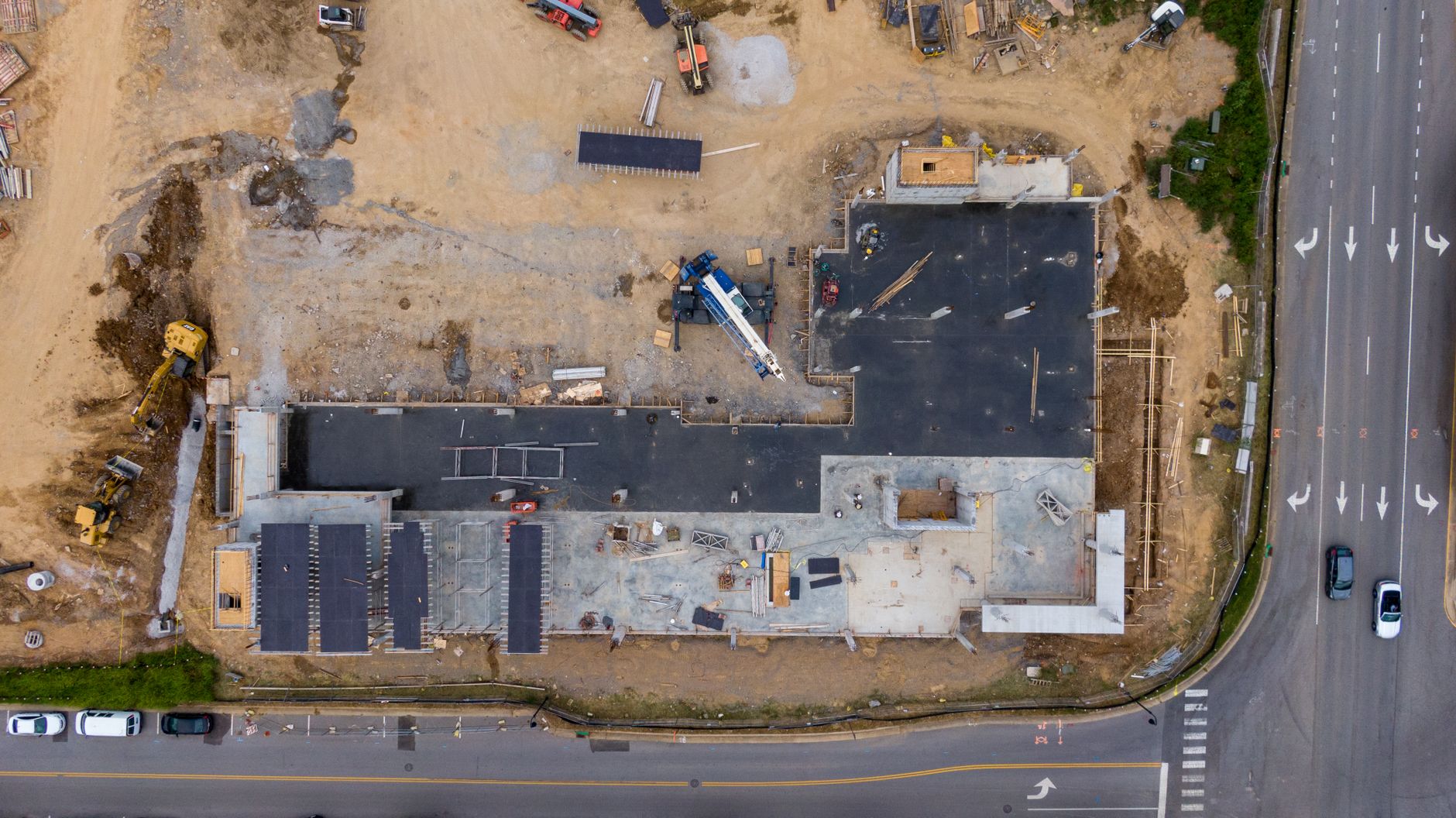
The essentials
- A site plan is a scaled drawing of a parcel showing existing and proposed conditions for permit review.
- Common required elements: property lines, building footprints, setbacks, driveways, parking, utilities, drainage, and landscaping.
- Whether an owner may draw the plan depends on local rules and project scope; regulated work may require a licensed professional.
- A site plan is distinct from a survey: one is a planning document, the other a legal measurement of property lines.
- Local codes set the exact scale, format, and when a sealed plan is needed—there is no single federal rule.
Many U.S. building-permit applications require a site plan, but the exact rule is local and some jurisdictions waive or modify the requirement for minor work. In the U.S., a site plan is a scaled drawing of your parcel that shows existing and proposed conditions: building footprints, driveways, parking, utilities, lot lines, setbacks, landscape, drainage, and other features. Building departments and planning authorities use it for permit review and site-plan review. This guide explains what must be on it and how to get one that passes review.
What Must a Site Plan Show?
Local codes vary, but most U.S. jurisdictions expect these elements on a site plan:
- Property boundaries and legal description
- North arrow and graphic scale bar
- Existing and proposed building footprints with dimensions
- Distances to property lines (setbacks)
- Driveways, parking layout, and circulation
- Locations of utilities and easements
- Topography/contours or spot elevations (when required)
- Stormwater/drainage notes or best management practices (BMPs) for regulated projects
- Landscaping/planting and lighting notes when required by code
These come from guidance like the U.S. EPA's stormwater/site plan guidance, City of San Diego's 'How to Prepare a Site Plan' bulletin, and City of Bellevue's residential site plan resources.
When Do You Need a Site Plan?
Municipalities commonly require a site plan for new buildings, additions, accessory structures (when not exempt), and commercial development. The specific triggers are set by local zoning and building codes, so there is no single federal rule. For example, a small shed might not need a plan, but a new house or a commercial build almost certainly will.
Check with your local building department early. They'll tell you if you need a site plan, a survey, or both. Some permit offices accept a homeowner-drawn site plan for limited work, while others require a survey or a professionally prepared plan. Confirm the submittal rules with the authority reviewing your specific permit.
Site Plan vs. Survey: What's the Difference?
People often confuse these. A site plan (also called a plot plan) is a planning/drawing document showing existing and proposed site features for permit review. A property survey (recorded plat or boundary survey) is a legal measurement of property lines and monuments by a licensed surveyor. You might need both: the survey gives you the accurate boundary lines, and the site plan uses those to show where your new building will sit.
If you don't have a recent survey, you may need to order one before drawing your site plan. For help estimating the cost, see our land survey cost calculator.
Who Prepares the Site Plan?
It depends on the scope. For simple permits, like a small addition, a homeowner can often draw the site plan themselves. Local codes might allow that. But when civil/site engineering (grading, drainage, utilities) is involved, or when the jurisdiction requires sealed plans, you'll need a licensed professional: a land surveyor, civil engineer, architect, or landscape architect.
If your project involves grading or drainage, you might also need a retaining wall plan or a slope analysis. Those are separate documents but often part of the same permit package.
Scale and Format Requirements
Local guidance may specify an engineering or architectural scale. San Diego, for example, publishes several scales for particular plan types; those examples are not a nationwide standard. You'll also need a north arrow and a graphic scale bar. Text must be readable. If your project includes grading, drainage, erosion control, or utility work, the plan may need to be sealed by a licensed professional.
These requirements come from City of San Diego's bulletin, Bellevue's residential site plan resources, and U.S. EPA guidance on BMP/site plan maps.
How to Draw a Site Plan: Step by Step
Start with your property survey or a copy of your recorded plat. You'll need accurate boundary lines.
- Draw the property boundaries to scale.
- Mark existing features: house, garage, driveway, trees, utility poles.
- Add proposed features: new building footprint, addition, deck, parking area.
- Show setbacks: measure distances from your building to the property lines.
- Indicate driveways and circulation paths.
- Show utility locations and any easements.
- Add stormwater and drainage notes if required.
- Include a north arrow and scale bar.
You can sketch the concept by hand or with software. Terramify's land planner can help you test a layout and organise dimensions, but it is not a permit-ready drawing and does not replace a survey, professional seal or the format required by your local authority.
Common Mistakes That Delay Permit Approval
- Missing north arrow or scale bar
- Setbacks not shown or incorrect
- Proposed building not dimensioned
- Driveways not shown clearly
- Utility easements omitted
- Drainage notes missing when required
- Plan not to scale or text too small
Avoid these and your review will go faster.
When You Need a Professional
If your project involves grading, drainage design, or utility connections, you'll likely need an engineer's stamp. In that case, hire a civil engineer early. They can also coordinate with the surveyor.
If you're also installing a septic system or a well, those have separate permit requirements. See our septic cost and well cost calculators for budgeting.
Getting a Site Plan: Cost and Time
There's no national average cost for a professionally drawn site plan. It varies by project scope and locality. Ask local surveyors, civil engineers, architects or landscape architects for a scope-specific quote. Permit-review fees are separate and are usually published by the local authority; do not use a national price range as a substitute for those local figures.
If you're drawing your own, the main cost is your time. If the authority permits an owner-prepared plan, use its current checklist and drawing requirements rather than a generic national template.
Final Checklist Before Submission
- Property boundaries and legal description included
- North arrow and scale bar present
- All existing and proposed structures shown with dimensions
- Setbacks labeled
- Driveways and parking shown
- Utilities and easements indicated
- Drainage/stormwater notes included if required
- Landscape/lighting notes added if code requires
- Plan drawn to an approved scale
- Sealed by a professional if needed
Run through this checklist before submission, then compare it line by line with the current checklist from your local planning or building authority. Then you can move on to the building permit itself.
For related cost estimates, see our gravel and fence calculators. They help you budget for site improvements. Also check our guide on gravel mistakes to avoid common pitfalls.
If you're planning a septic system, read our septic installation cost guide for what to budget in 2026.
Frequently asked questions
Can I draw my own site plan for a permit?
For simple permits, many municipalities allow homeowner-drawn site plans. But if your project involves grading, drainage, utilities, or large structures, you'll likely need a licensed professional's sealed plan. Check with your local building department first.
What is the difference between a site plan and a plot plan?
They are often used interchangeably. In many jurisdictions, a plot plan is a simpler version showing the building footprint and setbacks, while a site plan includes more detail like utilities, landscaping, and drainage. But the terms vary by locality, so confirm what your permit office expects.
Do I need a survey to get a site plan?
Not always. If you have a recent survey or a recorded plat, you can use that for boundary lines. If not, you may need to order one because many permit offices require accurate property lines. Some accept a site plan based on existing records, but a stamped survey is safer for larger projects.
What scale should I use for my site plan?
Most jurisdictions specify a scale like 1"=20' or 1"=30' for small lots, and 1"=50' or 1"=100' for larger parcels. Use whatever your local code requires. Include a graphic scale bar and north arrow.
How much does a professional site plan cost?
There is no national average. It varies widely by project scope and location. Small residential plans might be a few hundred dollars, while large commercial projects with full engineering can be thousands. Get quotes from local civil engineers or landscape architects.
What happens if my site plan is missing required elements?
Your permit application will likely be delayed. The planning department will return it with a list of deficiencies. To avoid this, review your local site plan checklist and include all required items before submitting.
Is a site plan required for a fence or shed?
Often not for small accessory structures if they meet exemption thresholds in local codes. But if the structure is large or near property lines, a simple site plan might be needed. Check with your building department.
Can I use a site plan from the architect for both site plan review and building permit?
Yes, in many cases. The architect's site plan can serve both purposes, provided it includes all required elements. Some jurisdictions want a separate, more detailed site plan for site plan review, especially for commercial projects.
Sources cited
- definition_and_primary_use: Direct answer (search intent): In the U.S. a “site plan” is a scaled drawing of a parcel that shows existing and proposed conditions (building footprints, driveways/parking, utilities, lot lines, setbacks, landscape, drainage and other features) used by building departments and planning authorities for permit review and site‑plan review.Source: American Planning Association; multiple U.S. city planning/permit pages (example: City of Minneapolis, City of Bellevue). · verified 2026-08-31
- primary_purposes_and_review_use: Primary purposes: site plans are used to verify compliance with zoning and building rules, evaluate circulation (vehicles and pedestrians), show location and dimensions of proposed construction, demonstrate setbacks, stormwater/drainage measures and landscape/screening required by local ordinances — i.e., they are the core document for permit review and site‑plan review decisions.Source: American Planning Association (site plan review guidance); City of San Diego site plan guidance. · verified 2026-08-31
- typical_required_elements: Common mandatory elements (examples from U.S. municipal and federal guidance): property boundaries and legal description; north arrow and scale; existing and proposed building footprints and dimensions; distances to property lines (setbacks); driveways, parking layout and circulation; locations of utilities and easements; topography/contours or spot elevations (when required); stormwater/drainage notes or BMPs for regulated projects; landscaping/planting and light/fixture notes when required by code.Source: U.S. EPA stormwater/site plan guidance; City of San Diego 'How to Prepare a Site Plan' information bulletin; City of Bellevue residential site plan guidance. · verified 2026-08-31
- who_prepares: Who prepares a site plan: depending on project scope, site plans may be prepared by homeowners for simple permits, or by licensed professionals — land surveyors, civil engineers, architects or landscape architects — when local codes require sealed plans or when civil/site engineering (grading, drainage, utilities) is involved.Source: City of San Diego; County of Monterey CA; City of Minneapolis site plan webpages. · verified 2026-08-31
- when_required_for_permits: When a site plan is required: municipalities commonly require a site plan for new buildings, additions, accessory structures (when not exempt), commercial development, and for formal site‑plan review or building‑permit submittal. Specific triggers and thresholds (e.g., when a sealed survey or engineered grading plan is required) are set by local building and planning codes — there is no single federal rule that covers all U.S. jurisdictions.Source: City of Lancaster PA site plan submission page; City of Bellevue permit submittal resources; local zoning ordinance excerpt (City of Bay Minette zoning ordinance definition). · verified 2026-08-31
- site_plan_vs_survey: Difference from a survey (common point of confusion): a site plan (plot plan) is a planning/drawing document showing proposed and existing site features for permit review; a property survey (recorded plat or boundary survey) is a legal measurement of property lines and monuments performed by a licensed surveyor. Some permit offices accept a homeowner-drawn site plan for small projects; many require a stamped survey or professionally prepared site plan for larger or regulated work.Source: City of San Diego guidance; municipal 'site plan vs survey' explanations (e.g., County of Monterey guidance and City of Minneapolis descriptions). · verified 2026-08-31
- scale_and_format_requirements: Format and scale guidance used by U.S. jurisdictions: many U.S. permit offices specify an appropriate engineering/architectural scale (e.g., 1"=20' or 1"=30' for small lots, 1"=50' or 1"=100' for larger parcels), require a north arrow, graphic scale bar, and readable text; some also require sealed/stamped plans (signed by licensed professionals) when grading, drainage, erosion control, or utility work is involved.Source: City of San Diego 'How to Prepare a Site Plan' bulletin; City of Bellevue residential site plan resource; U.S. EPA BMP/site plan map guidance. · verified 2026-08-31
- Fact-check: When you apply for a building permit, the first thing the planning office asks for is usually a site plan. It's not optional.: Local jurisdictions often require a site/plot plan for permit applications but many codes allow waivers or modifications for minor repairs/alterations; it is incorrect to state “It’s not optional” as an absolute. For example, San Diego’s code allows the building official to waive or modify the requirement for a plot plan for alteration or repair or when otherwise warranted (San Diego Municipal Code § 91.1.107.2).Source: https://codelibrary.amlegal.com/codes/sand_diego/latest/sandiego_regs/0-0-0-92245 · verified 2026-08-31
- Fact-check: A site plan must include a north arrow and a graphic scale bar (and be drawn to scale / legible).: A site plan must include a north arrow and a graphic scale bar (and be drawn to scale / legible).Source: https://www.sandiego.gov/development-services/forms-publications/information-bulletins/122 · verified 2026-08-31
- Fact-check: If your project includes grading, drainage, erosion control, or utility work, the plan may need to be sealed by a licensed professional (eng: If your project includes grading, drainage, erosion control, or utility work, the plan may need to be sealed by a licensed professional (engineer or licensed land surveyor) — sealed plans may be required at submittal or prior to permit issuance.Source: https://www.sandiego.gov/development-services/forms-publications/information-bulletins/122 · verified 2026-08-31
- Fact-check: Stormwater/drainage notes or BMPs are commonly required on site plans for regulated projects; EPA guidance lists site maps and BMP descripti: Stormwater/drainage notes or BMPs are commonly required on site plans for regulated projects; EPA guidance lists site maps and BMP descriptions as expected components of SWPPP/site documentation for construction and regulated sites.Source: https://www.epa.gov/npdes/developing-stormwater-pollution-prevention-plan-swppp · verified 2026-08-31
- Fact-check: Many local permit pages and code guidance (example: City of San Diego) list common required elements such as property lines, building footpr: Many local permit pages and code guidance (example: City of San Diego) list common required elements such as property lines, building footprints, setbacks, driveways, parking, utilities, drainage, landscaping — these are typical elements jurisdictions expect on a site plan.Source: https://codelibrary.amlegal.com/codes/sand_diego/latest/sdzoning/0-0-0-10475 · verified 2026-08-31
- Fact-check: Most U.S. permit offices specify an engineering/architectural scale, for example 1"=20' or 1"=30' for small lots, and 1"=50' or 1"=100' for : There is no authoritative national single standard that prescribes exact scale values; the article’s example scales (1"=20', 1"=30', 1"=50', 1"=100') are reasonable examples but presentational — local jurisdictions set required scales. For accuracy, state these as common example scales and note to follow local code. San Diego project submittal guidance requires consistent scale and shows typical scales are set by the jurisdiction rather than a federal standard.Source: https://www.sandiego.gov/sites/default/files/dsdpsm_sec_02a.pdf · verified 2026-08-31
- Fact-check: Homeowners can draw simple site plans for minor permits, but larger projects often require a licensed professional's stamp.: There is wide local variation. Some municipal codes explicitly permit owner- or applicant-prepared site/plot plans for small/simple permits — e.g., San Diego allows site plans submitted by the land owner or owner’s representative — but other jurisdictions require licensed-preparer plans even for small projects. Revise to say 'many municipalities allow homeowner-drawn plans for very small/simple permits; check local rules.'Source: https://codelibrary.amlegal.com/codes/sand_diego/latest/sdzoning/0-0-0-10475 · verified 2026-08-31
Sources and author
Terramify editorial team
We write every guide from public sources, verify each figure against its source and date it. Calculations follow the methodology page. A licensed reviewer is being added; until then nothing here replaces a surveyor, architect or engineer.
Indicative estimate · not a survey or a design · see methodology
Keep reading
Related tools
Apply this to your real plot: draw it and see what fits.
Open the planner