Land surveying in England, United Kingdom
Compare quality-checked companies by service and location. Review their experience, project evidence and service area before sending an enquiry.
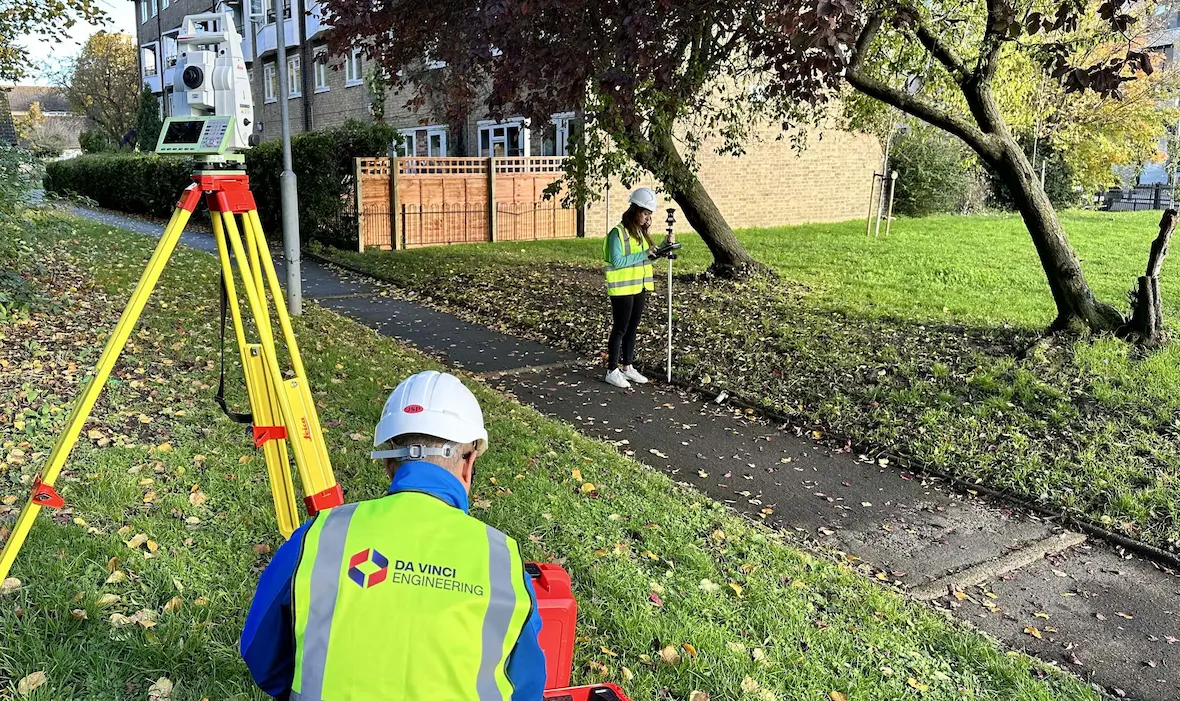
Survey-grade topographical data, measured building surveys, laser scanning and site engineering across London and the South East.
- Topographical and land surveys
- Measured building surveys
- 3D laser scanning and point clouds
- Scan to CAD and Scan to BIM
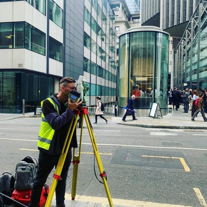
Land, topographical and measured-building surveys with laser scanning, UAV, BIM and monitoring services across London and the UK.
- Topographical and land surveys
- Measured building surveys
- 3D laser scanning and point-cloud capture
- Scan to BIM and Revit-ready modelling
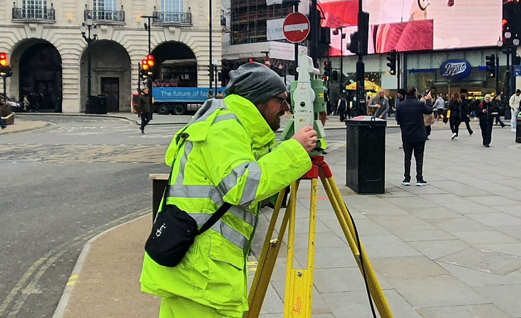
Topographical surveys, laser scanning and site engineering for highways, public realm, buildings and complex London sites.
- Topographical surveys
- 3D laser scanning and point clouds
- Construction setting out
- As-built surveys and documentation
How to compare local professionals: Land surveying in England, United Kingdom
- Confirm that the company explicitly serves your location and type of project.
- Compare relevant completed work, qualifications and the detail in its service process.
- Describe the site, approximate scope and timing when you send an enquiry.